


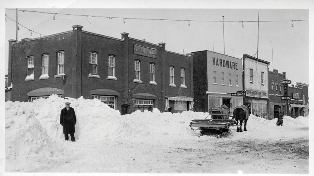
One thing I’m always curious about is what the weather looked like in the past. I’ve talked previously about massive snowstorms that dumped multiple feet of snow on Lloydminster.
Read more: Column: Stompin’ at Stampede
Looking through historical data, I have realized that finding information is difficult, as the airport was the tracking point for Environment Canada from 1982 onward.
Luckily, other sites like extreme weather watch exist to bring hopefully accurate data. That’s also where I’m sourcing my data from for today’s column, if you were looking to find it yourself.
We had a pretty snowy winter this year, however, the record for the most snow accumulation in a single day was April 27, 1991. In just one day, 57.6 cm fell. Keeping it wintry, the lowest daily high happened on Jan. 19, 1943. The daytime high was -36.7 C, a very frigid day. To keep that cold streak going, the next day on Jan. 20, 1943, the lowest temperature was recorded at -46.1 C.
The earliest snow the Border City has ever seen was on Sept. 9, 2004, and the latest we got it was not this year, but on
June 7, 2019.
On the wet side, the most daily precipitation Lloydminster has seen was July 3, 1913, with 10.4 cm. The highest recorded temperature in Lloyd happened on
July 12, 2002, at 38.1 C.
I was in Calgary during the last major rain here in Lloyd, so I missed out on some of the fun. Although, it did get me thinking about what records we have yet to break. Turns out, at least according to data that goes up to 2024, there’s still a few records we can surpass.
With how wild this year has been with all the ice storms, snow, rain and tornadoes, I’ll be happy if we could delay breaking some weather records for a few years.
Read more: Column: A fair-y fun time